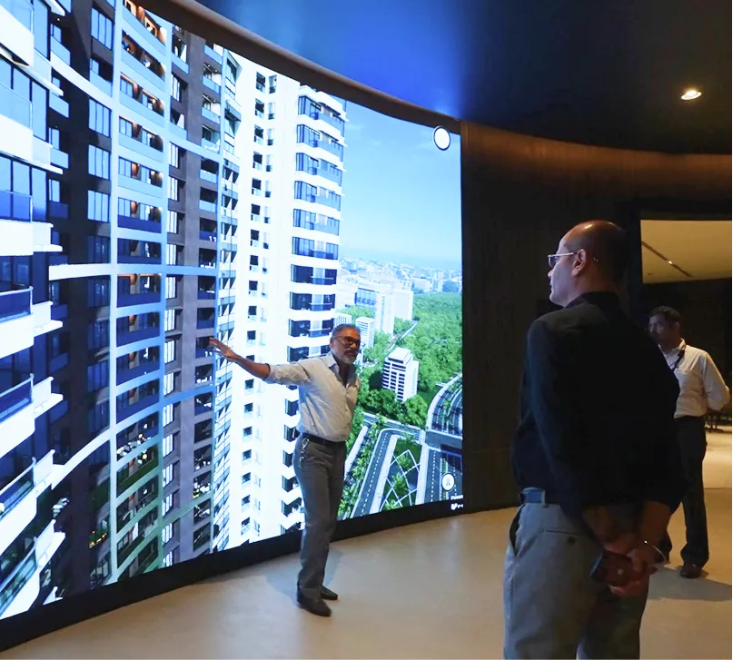
Buyers evaluate location before they evaluate floor plans. School access, metro proximity, upcoming retail hubs—these factors close deals. Yet most sales presentations bury this context in text. Maps belong at the center of your pitch, not hidden in an appendix.
Sales presentations miss the infrastructure layer
Property brochures list amenities. Sales teams talk about connectivity. Buyers still ask for proof. They want distances, routes, and visual confirmation of what surrounds the project. When that layer is missing, decisions stall. Queries pile up. Site visits repeat. Your conversion timeline stretches.
Context gaps slow buyer confidence
Marketing delivers unit specifications. Finance explains payment plans. Nobody shows verified spatial data. Buyers leave presentations with abstract claims about "well-connected locations" and no concrete reference points. They research alone. They compare alternatives. Your team loses control of the narrative.
Result: Extended sales cycles. More objections during negotiation. Lower close rates on qualified leads.
Infrastructure mapping closes the context gap
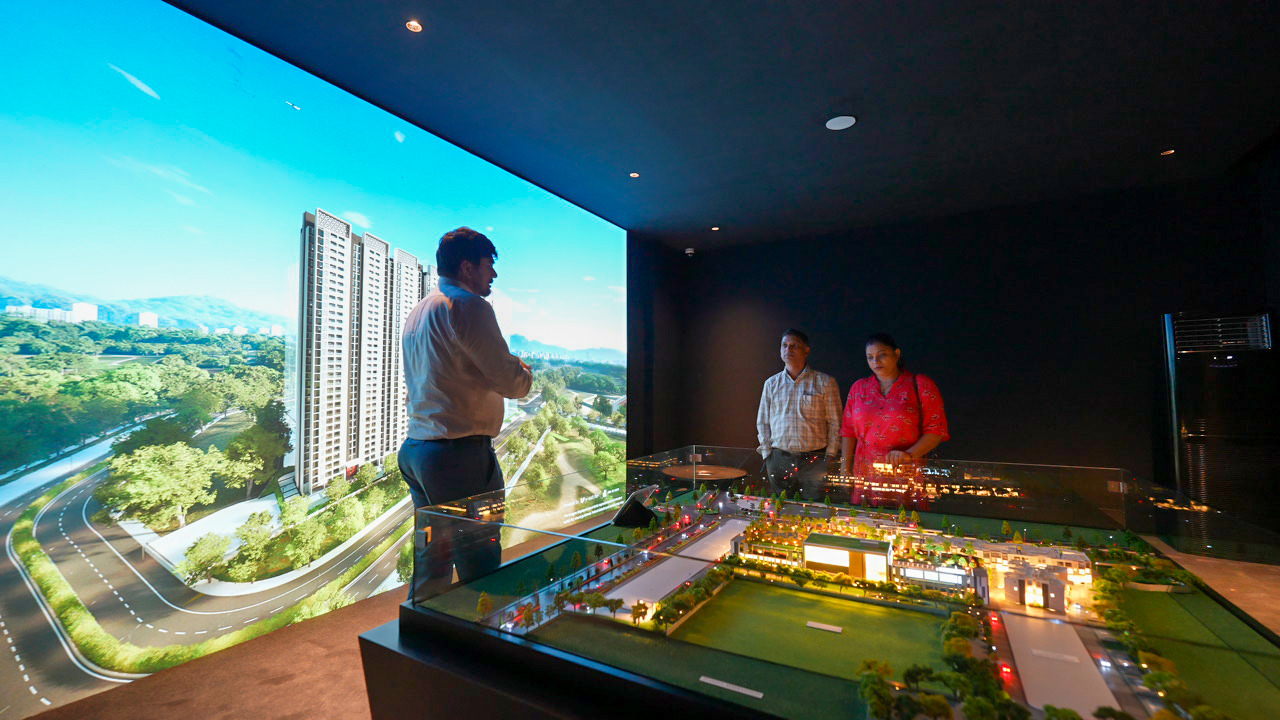
Present buyers with interactive maps that layer schools, hospitals, transit stations, and upcoming developments around your property. Use photorealistic 3D views tied to actual unit windows so buyers see connectivity and lifestyle in one integrated experience. Map-driven presentations answer location questions instantly. Buyers make informed decisions faster. Follow-up calls drop.
Required components for effective mapping
Verified proximity data. Real distances to schools, hospitals, metro stations, retail centers. Buyers need measurable facts, not marketing estimates.
Planned infrastructure indicators. Show upcoming metro extensions, commercial projects, road expansions. Future developments affect property value and buyer confidence.
Unit-linked visuals. Connect map views to the actual window perspective from each unit type. Buyers see both infrastructure access and their daily view.
Layer toggle controls. Let buyers filter by transit, education, healthcare, retail, or future projects. Customization builds trust and engagement.
Offline presentation capability. Sales offices, remote locations, and events require demos that run without live internet. Cached assets ensure consistent performance.
Features that accelerate decision-making
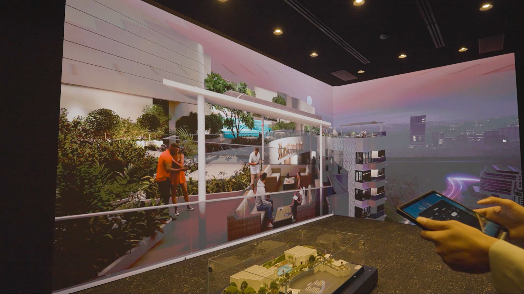
Photorealistic 3D virtual show flats. Buyers explore unit layouts in lifelike detail. Camera angles match real perspectives. Short walkthroughs replace lengthy verbal explanations.
Amenity mapping layer. Icons and labels display nearby facilities with exact distances. Buyers scan connectivity at a glance instead of reading paragraphs.
Dynamic lighting and weather simulation. Show how morning light enters the living room. Display monsoon views from balconies. Buyers visualize year-round living conditions before possession.
Finish and furniture customization. Swap wall colors, flooring, and furniture sets in real time. Buyers test practical fit and personal style preferences during the demo.
Offline activation. V-estate runs presentations without internet dependency. Sales teams activate demos in showrooms, site offices, and exhibition booths with zero connectivity concerns.
Measured impact on sales operations
Faster lead qualification. Infrastructure context answers top buyer objections upfront. Unqualified leads self-filter early.
Higher conversion from virtual demos. Clear spatial data reduces hesitation during negotiation. Buyers see value before price discussion.
Reduced repeat site visits. Immersive demos deliver complete context in one session. Travel costs and coordination time drop.
Improved buyer confidence. When buyers control exploration—toggling layers, testing scenarios, viewing perspectives—they feel informed and decisive.
Implementation steps for developers
Source verified infrastructure datasets. Municipal development plans, transit authority schedules, hospital registries, school board listings. Accuracy builds credibility.
Standardize map layers across projects. Use consistent radius markers, icon sets, and color coding. Buyers should recognize your mapping system instantly.
Integrate maps into all sales materials. Embed infrastructure views in pitch decks, brochures, and onsite displays. Train teams to lead with spatial context.
Enable offline presentation packages. Cache map tiles, 3D assets, and amenity data for tablets and kiosks. Eliminate connectivity risk during demos.
Train sales staff on layer controls. Teach quick toggles for common buyer queries: "Show me metro stations within 2 km." "Display upcoming commercial projects." Fast responses maintain momentum.
Tracking performance metrics
Lead-to-site-visit time. Measure reduction when mapping is introduced early in the funnel.
Virtual demo conversion rate. Compare map-driven presentations against standard pitches. Track percentage increases.
Objection frequency and type. Monitor whether infrastructure concerns decline after mapping adoption.
Repeat demo requests. Lower repeat rates indicate clearer buyer understanding from first interaction.
Pricing and positioning support
Infrastructure maps justify price points with concrete evidence. When buyers see verified metro access, school proximity, and upcoming retail zones, premium pricing becomes defensible. Location value shifts from abstract claim to visible fact. Developers can anchor pricing discussions in measurable convenience and future growth potential.
V-estate delivers offline infrastructure mapping
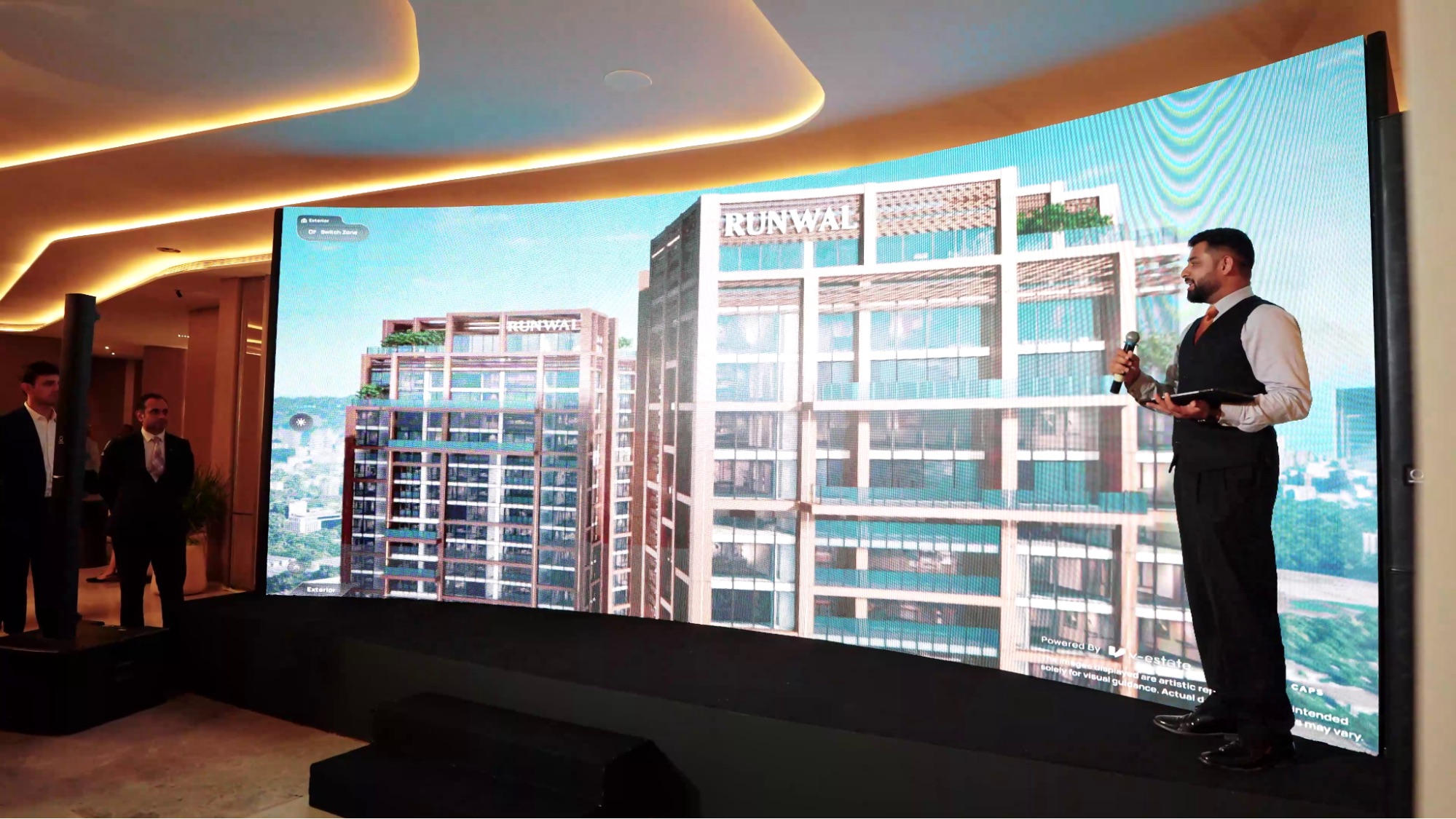
V-estate combines photorealistic 3D virtual show flats with an integrated amenity mapping layer in a single offline presentation tool. Buyers explore unit interiors, toggle infrastructure layers, customize finishes, and view exact window perspectives—all without internet connectivity. Sales teams activate demos in any location: showrooms, site offices, exhibitions, or remote sales centers.
The platform layers current and upcoming projects around your property with verified proximity data. Dynamic lighting and weather controls let buyers visualize seasonal conditions. Customization snapshots show furniture fit and finish options in real time.
V-estate runs entirely offline. No connectivity gaps. No loading delays. Consistent performance across all sales environments.
Rollout checklist
Collect verified local amenity data
Build standardized map layer set
Create offline demo package
Link 3D unit visuals to map views
Train sales teams on layer toggles
Measure conversion and cycle time changes
Infrastructure mapping drives faster decisions
Buyers choose location first. Infrastructure mapping delivers that context clearly and immediately. For real estate teams focused on shortening sales cycles and improving conversion rates, mapped presentations offer measurable operational gains.
Test V-estate's offline infrastructure mapping in your next sales session. Compare conversion metrics against standard presentations. Request a demo package with map layers, 3D unit views, and offline activation to validate impact in one meeting.